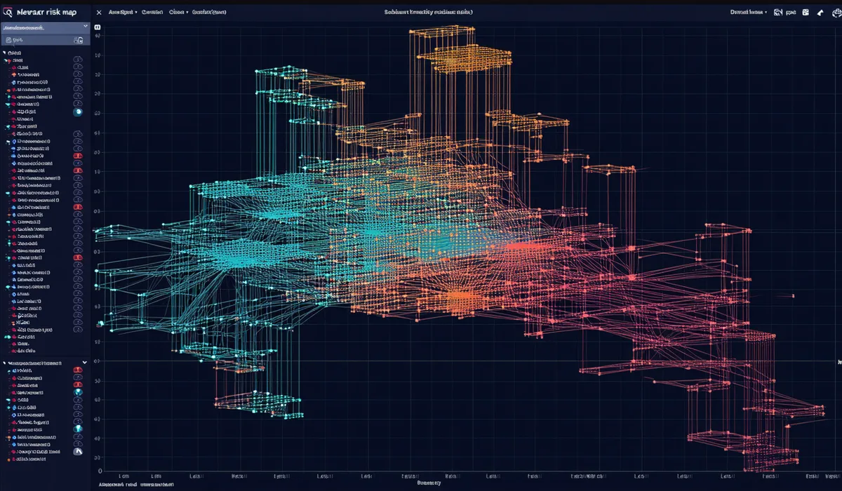
Segment-level risk maps that prioritize where to act next
Watsynq's ML risk engine scores every pipe segment against break probability, calculates expected dig cost exposure, and surfaces the 5% of your network responsible for 60%+ of your break risk — so capital and crews go to the right place.
Thirty-two input variables. One risk score per segment.
The risk model combines physical asset attributes, operational history, soil and environmental data, and real-time telemetry to produce a 0–100 break probability score for each pipe segment, updated hourly.
Asset Attributes
Pipe material, diameter, year installed, joint type, lining status, previous break history, and rehabilitation records from your GIS and CMMS data.
Soil & Environment
USDA SSURGO soil corrosivity class, groundwater depth, caliche expansion index, seasonal temperature swing, and proximity to traffic loading corridors.
Pressure Telemetry
Transient pressure events, pressure variance over rolling 30-day windows, and hydraulic gradient anomalies — all weighted by segment-level exposure multipliers.
Climate Signals
Seasonal heat index, soil moisture deficit from ET calculations, and 90-day rolling temperature differential — critical for arid-climate systems where thermal cycling is the dominant failure driver.
Break Event History
Historical break records ingested from your work order system. Each break event recalibrates the segment's failure probability using a Bayesian update rule.
Cost Exposure
Expected annual repair cost per segment = break probability × material-adjusted excavation cost × demand criticality weight. Feeds directly into capital planning outputs.
Live risk layer, overlaid on your existing GIS
The risk map updates hourly. Color-coded segments let operations staff and capital planners see at a glance where risk is concentrating — without needing to understand the model mechanics.
- Exports to Esri ArcGIS, QGIS, and AutoCAD Civil 3D
- Customizable risk tier thresholds per your O&M standards
- Capital priority shortlist: top 25 highest-exposure segments, one-click PDF
From risk score to capital plan
The Network Analytics module generates an annual capital priority report, formatted for presentation to utilities commissions and city councils.
Network Analytics is included in every Watsynq tier, starting at Pilot.
Full ML risk scoring, GIS export, and capital planning reports — starting at $1,500/month for networks up to 200 segments. District tier expands coverage to 1,000 segments.